Coallision
On February 11th 2009 a Russian cosmos satellite (Cosmos 2251) and a telecommunication satellite (Iridium 33) owned by Iridium Satellite LLC crashed. This incident produced thousands of pieces of space debris, adding additional danger to operating satellites and human space travel.
Coallision - the combination of the words collision and coalition - tracks the remainders of the 2009 collision and asigns sound to each piece of space debris. In addition the current position of the International Space Station (ISS) - a project run in coaltion by many countries -is monitored and displayed on screen when visible.
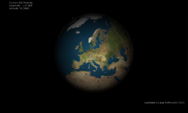
Each tracked piece of debris (and the ISS) is projected at its location in relation to our planet. All pieces are represented as white dots on screen as long as they are invisible from the location where the installation is running. Once a particle gets visible it changes color. Cosmos 2251 debris turns red while Iridium 33 debris turns blue. The green dot appearing at 90 minute intervals is the ISS.
Above a screenshot of the installation at geh8 (Dresden/Germany) in May 2013.
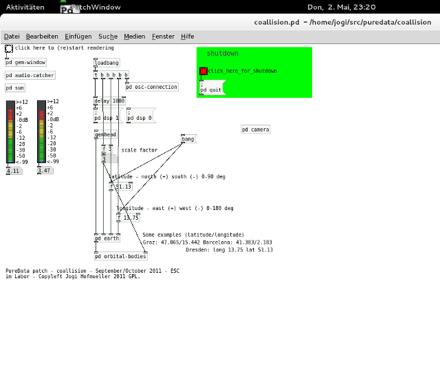
The piece is written in Pure Data. It has been on display at ESC im Labor (Graz/Austria) and geh8 (Dresden/Germany).
Coallision started as a test patch for OSCSatellite.py and can be considered as one of the spin-offs of MURSAT1.
OSCSatellite is available on gitlab now. Coallision is still only available from [institut hofos git server]hofos git.

